Compartir
Using Physical Maps
Rebecca E. Hirsch
(Autor)
·
Lerner Classroom
· Tapa Blanda
Using Physical Maps - Hirsch, Rebecca E.
Sin Stock
Te enviaremos un correo cuando el libro vuelva a estar disponible
Reseña del libro "Using Physical Maps"
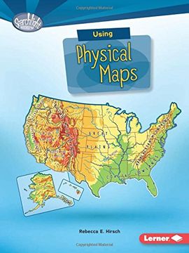
Have you ever wondered which countries have the most lakes? Or where the highest point in your state is? Physical maps show landscape features. They also often show land elevation, or how high the land is above sea level. But how do you use physical maps? And what do the different colors and symbols on these maps mean? Read on to learn all about physical maps!
- 0% (0)
- 0% (0)
- 0% (0)
- 0% (0)
- 0% (0)
Todos los libros de nuestro catálogo son Originales.
El libro está escrito en Inglés.
La encuadernación de esta edición es Tapa Blanda.
✓ Producto agregado correctamente al carro, Ir a Pagar.

